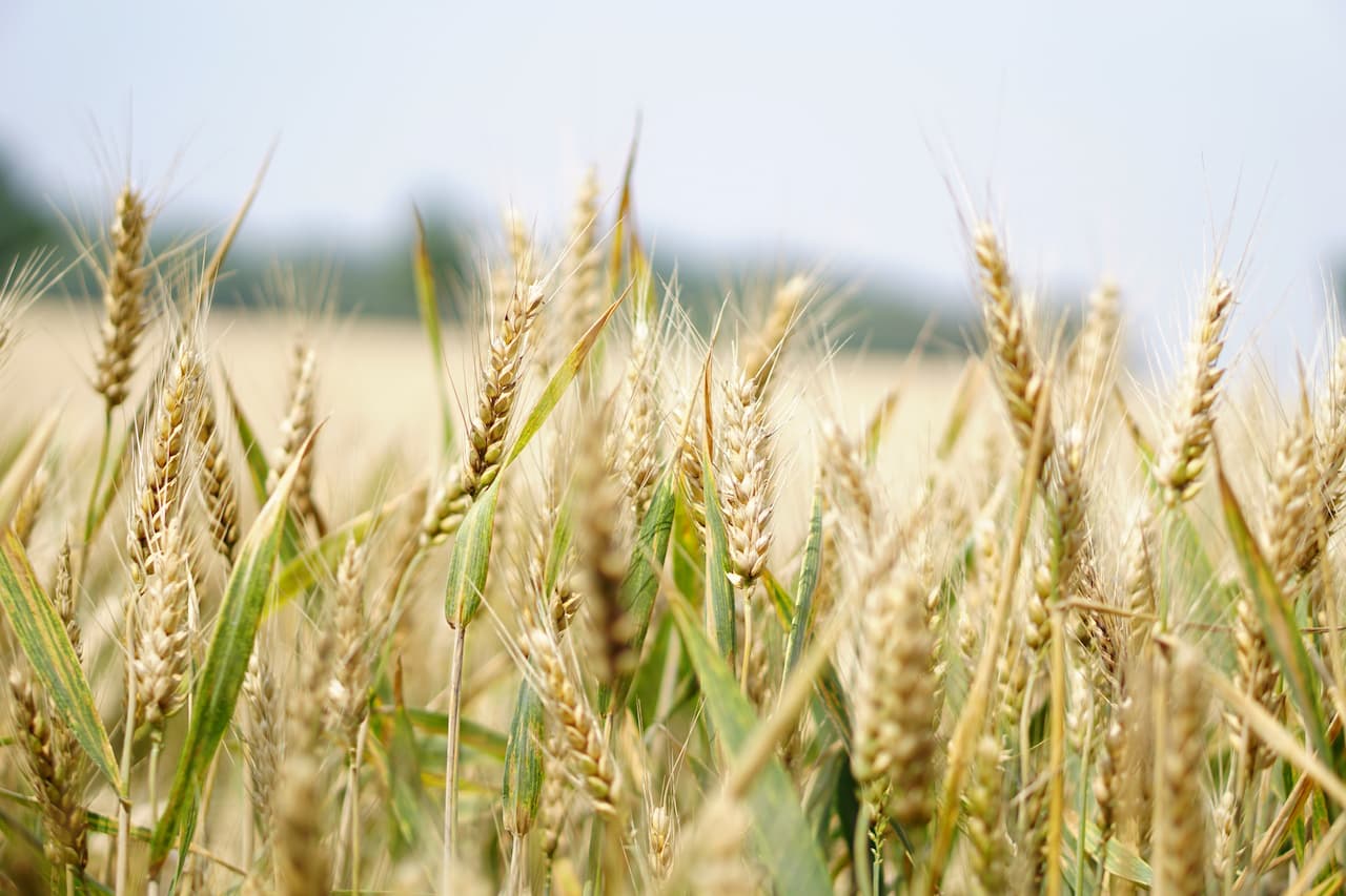
In recent years, the introduction of innovative technology in agriculture has led to an adjustment in the way farmers handle crops and cultivate fields. You don’t have to be an expert to see how technology has changed the way agriculture is viewed, making it more profitable, efficient, safe and easy. Five of the best modern information technology in agriculture recognized by farmers:
- GIS technology in agriculture and GPS agriculture
- Satellite imagery.
- Drone and other aerial imagery
- Agricultural information technology and online data
- Combining data sets
As a result, today’s farms are reaping significant benefits from digital technology in agriculture, which is constantly evolving. These benefits include reduced consumption of water, nutrients and fertilizers, reduced negative impacts on the surrounding ecosystem, reduced chemical runoff into local groundwater and rivers, increased efficiency, lower prices and more. In this way, businesses become profitable, smart and sustainable. Let’s discuss some of these innovative technologies in smart agriculture.
GIS Technology in Agriculture
Because fields are location-dependent, GIS technology is becoming an incredibly useful tool in terms of precision agriculture. Using geographic information technology in agriculture, farmers can display current and future changes in precipitation, temperature, yields, plant health, and more. It also allows GPS-based applications to be used along with smart technology to optimize fertilizer and pesticide application; given that farmers do not need to treat the entire field, but only certain areas, they can achieve savings in money, effort and time.
Another big advantage of GIS technology used in agriculture is the use of satellites and drones to collect valuable data on vegetation, soil conditions, weather and terrain from a bird’s eye view. Such data greatly improves the accuracy of decision-making.
Satellite Data
With the help of drone technology in agriculture (drones), farmers are able to determine crop biomass, plant height, weed presence and water saturation in certain areas of the field with high accuracy. They provide better and more accurate data with higher resolution than satellites. When they are working in the field, they provide valuable information even faster than scouts. Drones are also considered unbeatable helpers in insect control; insect infestations are prevented by applying insecticide to dangerous areas using unmanned technology (drones), while reducing the chance of direct exposure leading to chemical poisoning.
Although drones are easy to use and can collect large amounts of data in a short amount of time, there are still problems with their continued use because the technology is not cheap. Drones are virtually helpless where mapping or monitoring of large areas is required, and it is better to supplement this technology with satellite monitoring of already mapped areas where specific areas need to be rechecked.

Online Data
To make it easier to monitor agricultural fields, EOS has developed EOSDA Crop Monitoring, a digital platform that uses satellite monitoring to speed up a farmer’s decision-making so they don’t miss an important point in field treatment. Here are some of the features available on the platform:
- Crop Monitoring allows you to use the Normalized Vegetation Index (NDVI) to track crop health in agriculture. This index tracks the amount of chlorophyll in the plants, which provides information about their condition. If you have higher NDVI values, you have healthier vegetation because the more chlorophyll available to the plant, the healthier it is.
- Another important feature of today’s EOSDA Crop Monitoring information technology is the Scouting app. It is a mobile and desktop application that uses digital field maps. Using this app in agriculture, a farmer can assign scouts multiple tasks in a few clicks. Add a field, place a pin, assign a task. Once a task is assigned, the scout moves directly to the selected location and checks problem areas on the plot, checks for pest activity, performs weed control actions, etc., immediately taking notes in the app. This allows you to inspect problem areas only when necessary, thereby saving time to take necessary preventive measures.
- Weather analytics as information technology in agriculture. By analyzing weather data according to plant condition data from satellite imagery, farmers can accurately apply irrigation and prevent frost or heat damage. Since virtually all calculations and analysis are performed by the software itself, setting up the process of monitoring and taking care of the field is almost as easy as playing roulette or poker at an online casino. For example, one of the best ways to avoid drought problems is drip irrigation technology with automatic or manual valve control, so the farmer can supply the right amount of water to drought-prone areas.
- The strongest advantage of EOSDA Crop Monitoring is that it is based on satellite images. It helps to analyze field conditions or the condition of specific areas of agriculture and quickly extract valuable information, thereby speeding up optimal response time as well as making reliable decisions – which crops to sow, when to harvest, how to effectively plan for the next season, how much nutrients and fertilizer to apply, and much more.
Combining Data
Sometimes in the EOSDA Crop Monitoring platform, you have to mix different data sets to get valuable information about your fields. For starters, the user can compare the performance of their field to the average performance of all the fields in the area. To overcome this problem, technology is used to compare multiple datasets from all the fields in your area. For now, such comparisons are only available using the NDVI vegetation index, but in the near future we will expand the analytical capabilities of the Platform by adding new indices.
The next important function, modern information technology in agriculture using multiple data sets, is the analysis of weather data. It consists of the following options:
- “Plant Frost” informs you of low temperatures that threaten your winter crops.
- “Frost Threat” highlights days when temperatures have dropped below -6 ℃ to assess damage to early crops from frost.
- “Drought Threat” reflects days with temperatures above + 30 ℃ to assess damage from heat stress.
This feature of new technology in agriculture also provides the ability to monitor precipitation and temperature.
Precision Agriculture Results
Promising high technology in agriculture is moving into the future by leaps and bounds. They offer substantial assistance to farmers in their efforts to optimize costs, simplify farm management and increase productivity. Higher yields as well as lower maintenance costs help increase profitability. In the context of intelligent solutions, innovative technology in agriculture offers the Swiss Army knife of precision farming technology for both today’s and tomorrow’s farmers.